Big Map Blog Works Their Magic On Another Vintage Map
By Chuck Sudo in Arts & Entertainment on Feb 7, 2012 5:20PM

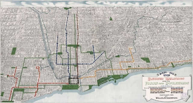
If you haven't placed Big Map Blog on your RSS feed or Google reader yet, do so. What they're doing by adding interactive capabilities to vintage maps is required viewing. This time, they've taken a 1908 map of Chicago's elevated railroads and boulevard system and coded it so you can zoom in on the detail the original cartographers put into creating the maps.
The folks at Big Map Blog are taking these maps and giving them new life by allowing viewers to zoom in on their details. They've previously worked their magic on maps of the meatpacking district, the central business district of Chicago, the terminals of the Chicago and North-Western railway, and a map of the Rock Island and Pacific Railway stops along the early elevated system.