Transportation Planner Creates Offline Bike Lane Map For iPhone
By Chuck Sudo in News on Jul 23, 2012 2:40PM
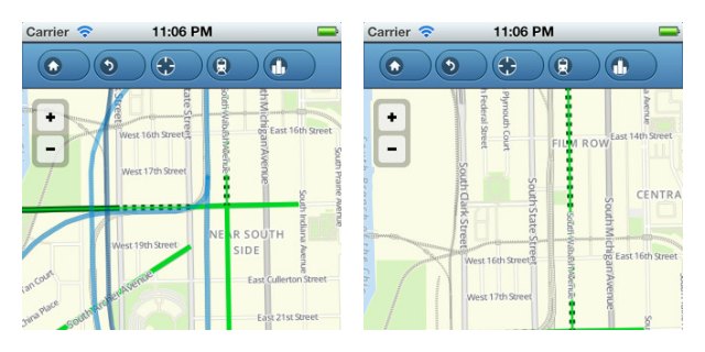
Chicago transportation planner Steven Vance has created one of the best smartphone map applications we’ve seen in some time: a map of Chicago’s streets and bike lanes that can be accessed without a data connection.
Vance was inspired to develop the app because he doesn’t have a data plan on his iPhone, so users won’t be wasting valuable data using the map. Another reason is that the printed and online versions of the City Department of Transportation’s bike map offers “recommended routes” and “shared bike lanes” that Vance found cumbersome. (Anyone who’s tried to get bicycling directions via Google Maps knows how frustrating it is to find the simplest route to bike from Point A to Point B.)
The Offline Bike Map only shows streets where bicyclists have a dedicated bike lane, whether it’s painted routed, protected bike lanes, buffered bike lanes or trails. The map can be searched via neighborhood or points of interest; serves as an informal map for CTA bus and train stations, and Metra stations; and offers tips on how to properly lock a bicycle to prevent theft and tips on how to load a bicycle on a bus or “L” car.
The Offline Bike Map is currently available for iPhone only and is worth every penny of its 99-cent price. Vance is working on a version of the map for Android