Chicago From The ISS
By Chuck Sudo in News on Dec 23, 2014 9:30PM
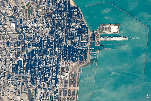
Photo credit: NASA
Two fundamental things to remember in the growth of Chicago in the late 19th and 20th century are location and the wealth of natural resources the city’s early planners had at their disposal. The point where the Chicago River and Lake Michigan meet served as a focal point for commercial barge traffic and the city was built and expanded from there. The city center still occupies this area, while modern roads and freeways parallel older trade and traffic routes.
These photos from the International Space Station show how these natural features have governed the growth of the city. They were taken in late October and even show how modern development is affecting the city’s growth.
The Loop is distinctly darker when viewed from orbit because high-rise buildings cast much more shadow than low buildings in the surrounding neighborhoods.
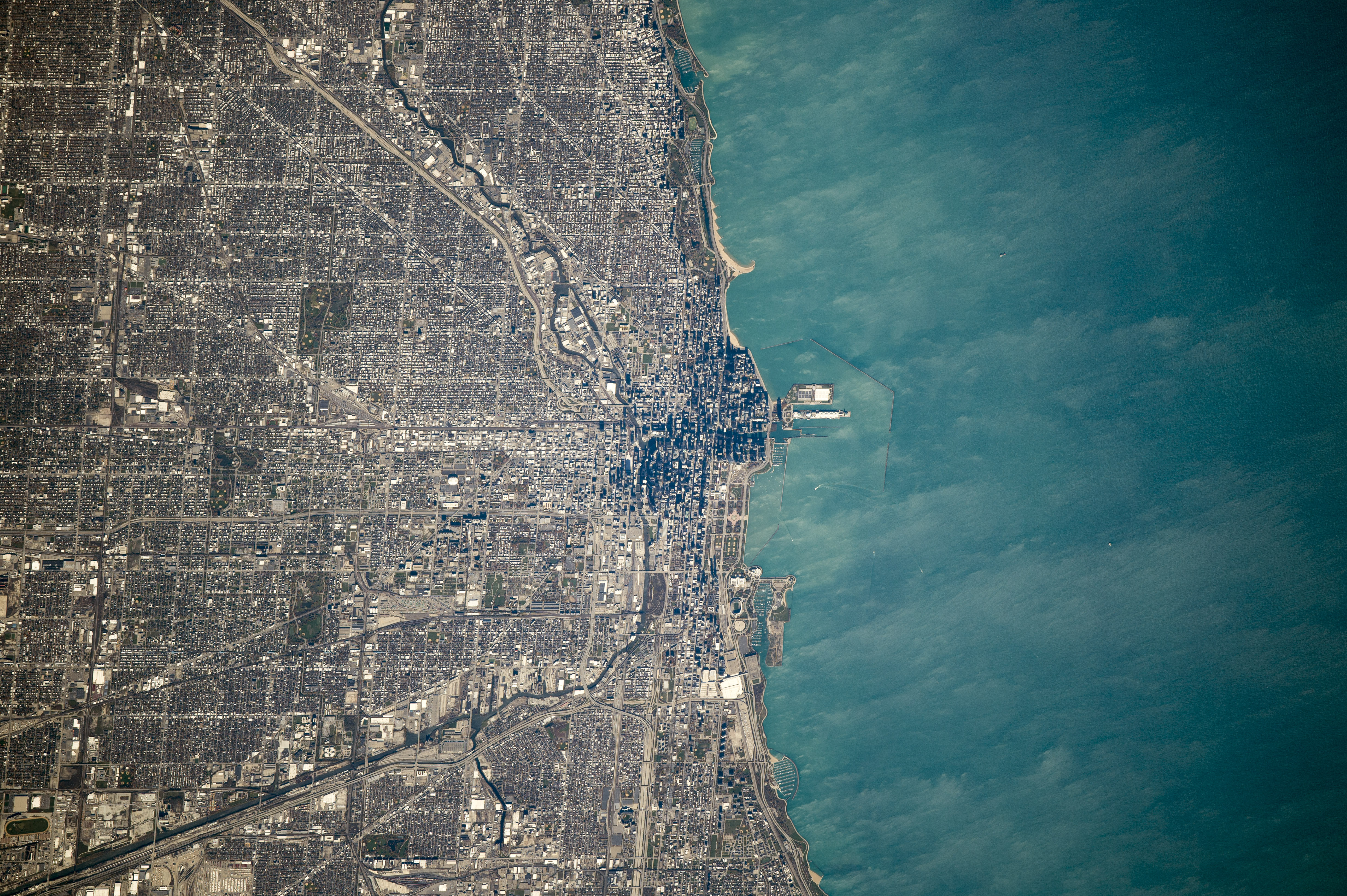
Photo credit: NASA (Click on photo to enlarge)
[NASA]