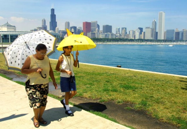
The Science Behind Chicago's Record-Breaking February Warmth
By Stephen Gossett in News on Feb 20, 2017 7:23PM

Getty Images / Photo: Tim Boyle
Another day in February, another record broken for worryingly unseasonable warmth. But how exactly is it happening?
First, the stats: for the fourth consecutive day, Chicago has broken its daily record high, according to the National Weather Service. Temperatures reached 66 degrees at O'Hare International Airport and 64 degrees at Chicago Rockford International Airport on Monday morning, with the potential to climb even higher.
Record temps were broken this morning at ORD and RFD. ORD reached 66 and RFD 64 so far. Temps still rising, so final numbers not known yet.
— NWS Chicago (@NWSChicago) February 20, 2017
But why is this wonkily warm weather hitting us all of a sudden? It's tempting—and probably valid—to throw your hands up and say, "greenhouse gases, duh," but there's also a more granular dive available for those want a little more context, courtesy of the NWS.
It's a perfect confluence of already warm weather plus lack of snow and jet streams keeping cold air to the north while southern streams gust up warmer air—not dissimilar to a hot stretch we saw in March, 2012.
The graphic below offers a helpful rundown:
Curious as to why so warm this time of year? This infographic may help answer your questions. #WhereIsWinter pic.twitter.com/CmcBnCYNKl
— NWS Chicago (@NWSChicago) February 19, 2017
"Cold storms were already staying well to the north," Amy Seeley, a meteorologist with NWS-Chicago told Chicagoist. "And we’re still getting southerly systems that bring all this warm air toward us... if we had snow cover it would temper it down. But it's been able to get even warmer."
In fact, Chicago is currently in the midst of a (say it with us) record-breaking snow drought. Chicago may finally see its first snowfall in more than two months on Thursday, March 2, which shows the possibility of rain and show showers, according to weather.com.
In the meantime, expect the parks and waterfront—and downtown streets—to be full with Chicagoans taking full advantage.